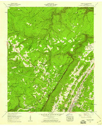
1958 Map of Fairmount
USGS Topo · Published 1965About this map
The sharp Cumberland Ridge and the Escarpment define this 1958 Tennessee landscape, where the plateau community of Fairmount sits above the developing valley suburbs of Red Bank-White Oak. The mapping reveals a rural-to-suburban transition, with established family landmarks like Hall Cem and Sawyer Cem alongside the growth of Signal Mountain. Education is central to these upland settlements, anchored by the Nathan L Bachman School and Lone Oak School.
Find a feature on this map
106 named features on this map. Tap any name to fly to it.
Don’t see what you’re looking for? This feature index may not catch every label — zoom into the map to look around manually.
Map Details
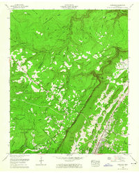
Editions of this 1958 Fairmount Map
2 editions found
Other maps of this area

1888 · Chattanooga
USGS Topo · 1:125,000

1893 · Chattanooga
USGS Topo · 1:125,000

1935 · East Chattanooga
USGS Topo · 1:24,000

1935 · Daisy
USGS Topo · 1:24,000

1935 · Soddy
USGS Topo · 1:24,000

1936 · Daus
USGS Topo · 1:24,000

1936 · Henson Gap
USGS Topo · 1:24,000

1936 · Ketner Gap
USGS Topo · 1:24,000

1936 · Fairmount
USGS Topo · 1:24,000

1936 · Wauhatchie
USGS Topo · 1:24,000