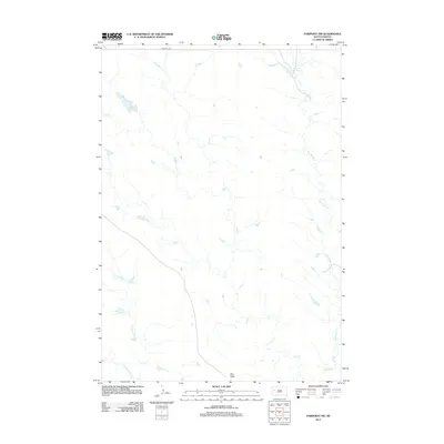
2012 Map of Fairpoint NW
USGS Topo · Published 2012About this map
Elm Butte rises as a prominent landmark in this prairie landscape of western South Dakota, anchoring a region defined by its seasonal drainage systems. The hydrologic network is dominated by the winding paths of Elm Creek and Crooked Elm Creek, alongside the smaller Soft Water Creek, illustrating the intricate erosion patterns typical of the high plains. Human presence is sparse, marked primarily by the trace of Red Owl Road as it cuts across the northern terrain. This survey reflects the enduring character of the Meade County rangelands in the early 21st century, where the topographical relief of the buttes provides a sharp contrast to the sprawling creek beds that characterize the local geography.
Find a feature on this map
5 named features on this map. Tap any name to fly to it.
Don’t see what you’re looking for? This feature index may not catch every label — zoom into the map to look around manually.
Map Details
Editions of this 2012 Fairpoint NW Map
This is the sole edition of this map. No revisions or reprints were ever made.
Other maps of this area

1913 · Newell
USGS Topo · 1:125,000

1951 · Volunteer SE
USGS Topo · 1:24,000

1953 · Rapid City
USGS Topo · 1:250,000

1957 · Rapid City
USGS Topo · 1:250,000

1959 · Fairpoint
USGS Topo · 1:24,000

1959 · Fairpoint SW
USGS Topo · 1:24,000
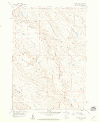
1959 · Volunteer NE
USGS Topo · 1:24,000

1959 · Fairpoint NW
USGS Topo · 1:24,000
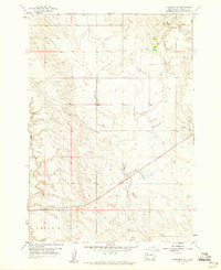
1959 · Fairpoint SE
USGS Topo · 1:24,000

1977 · Table Top Butte
USGS Topo · 1:24,000