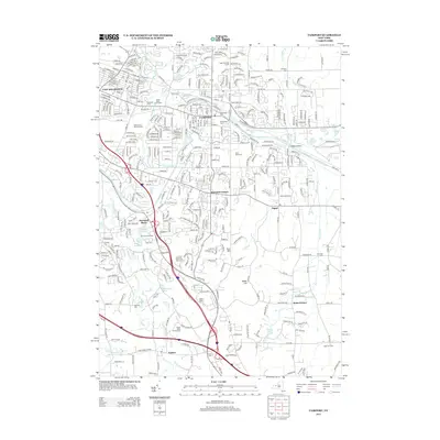
2013 Map of Fairport
USGS Topo · Published 2013About this map
The Erie Canal cuts through the heart of the village of Fairport, serving as a central geographic anchor for this modern Monroe County landscape. The area is characterized by a dense network of suburban development intertwined with deep-rooted local history, evidenced by numerous burial grounds like the Old Burying Ground and Perinton Center Cem. The geography transitions from the bustling corridor of East Rochester toward the southern elevations of Turk Hill and Baker Hill.
Find a feature on this map
352 named features on this map. Tap any name to fly to it.
Don’t see what you’re looking for? This feature index may not catch every label — zoom into the map to look around manually.
Map Details
Editions of this 2013 Fairport Map
This is the sole edition of this map. No revisions or reprints were ever made.
Other maps of this area

1895 · Rochester
USGS Topo · 1:62,500

1898 · Rochester
USGS Topo · 1:62,500

1900 · Macedon
USGS Topo · 1:62,500

1900 · Canandaigua
USGS Topo · 1:62,500

1901 · Honeoye
USGS Topo · 1:62,500

1903 · Canandaigua
USGS Topo · 1:62,500

1904 · Honeoye
USGS Topo · 1:62,500

1912 · Rochester
USGS Topo · 1:62,500

1920 · Rochester
USGS Topo · 1:62,500

1931 · Mendon Ponds
USGS Topo · 1:24,000