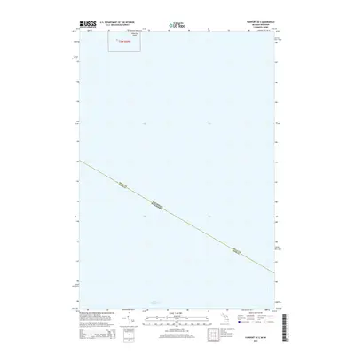
2014 Map of Fairport OE S
USGS Topo · Published 2014About this map
Lake Michigan dominates this hydrographic study, where the maritime boundary between Michigan and Wisconsin cuts diagonally across the open water. The map centers on a remote aquatic intersection where Delta Co, Michigan, meets Door Co, Wisconsin. This specific region of the lake is punctuated only by Little Gull Island in the northern reaches, a small landform located within the surveying township of t36n r20w. This 2014 edition serves as a precise record of state and county jurisdictional lines as they were defined in the early 21st century, providing a clear view of the underwater borders that separate these Great Lakes neighbors.
Find a feature on this map
5 named features on this map. Tap any name to fly to it.
Don’t see what you’re looking for? This feature index may not catch every label — zoom into the map to look around manually.
Map Details
Editions of this 2014 Fairport OE S Map
This is the sole edition of this map. No revisions or reprints were ever made.
Other maps of this area

1932 · Burnt Bluff SW
USGS Topo · 1:31,680

1954 · Escanaba
USGS Topo · 1:250,000

1957 · Escanaba
USGS Topo · 1:250,000

1958 · Escanaba
USGS Topo · 1:250,000

1958 · Peninsula Point
USGS Topo · 1:62,500

1958 · Fairport
USGS Topo · 1:62,500

1960 · Washington Island
USGS Topo · 1:62,500

1982 · Washington Island SE
USGS Topo · 1:24,000

1982 · Washington Island NE
USGS Topo · 1:24,000

1983 · Manistique
USGS Topo · 1:100,000