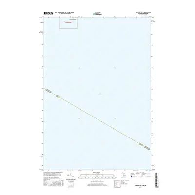
2017 Map of Fairport OE S
USGS Topo · Published 2017About this map
Lake Michigan dominates this hydrographic survey, which focuses on the maritime boundary between Michigan and Wisconsin. The primary terrestrial landmark is Little Gull Island, located in the northern reaches of the sheet within Section 24 t36n r20w. This remote landmass serves as a critical point of reference in an area otherwise defined by open water and state-level jurisdictional lines.
Find a feature on this map
5 named features on this map. Tap any name to fly to it.
Don’t see what you’re looking for? This feature index may not catch every label — zoom into the map to look around manually.
Map Details
Editions of this 2017 Fairport OE S Map
This is the sole edition of this map. No revisions or reprints were ever made.
Other maps of this area

1932 · Burnt Bluff SW
USGS Topo · 1:31,680

1954 · Escanaba
USGS Topo · 1:250,000

1957 · Escanaba
USGS Topo · 1:250,000

1958 · Escanaba
USGS Topo · 1:250,000

1958 · Peninsula Point
USGS Topo · 1:62,500

1958 · Fairport
USGS Topo · 1:62,500

1960 · Washington Island
USGS Topo · 1:62,500

1982 · Washington Island SE
USGS Topo · 1:24,000

1982 · Washington Island NE
USGS Topo · 1:24,000

1983 · Manistique
USGS Topo · 1:100,000