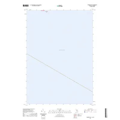
2023 Map of Fairport OE S
USGS Topo · Published 2023About this map
Lake Michigan dominates this coastal survey, where the open waters meet the northern reach of the Green Bay maritime corridor. The most prominent landform is Little Gull Island, a small feature situated at the northern edge of the map. This area represents a critical boundary zone within the Great Lakes system, as indicated by the presence of the t36n r20w township and range markers. The sparse terrain and vast water coverage suggest the maritime nature of this specific quadrant, reflecting the enduring navigational and geographic importance of the northern Michigan shoreline. While few terrestrial landmarks are present, the map serves as a precise record of the lake's expanse and the isolated landmasses that define this part of the island chain.
Find a feature on this map
3 named features on this map. Tap any name to fly to it.
Don’t see what you’re looking for? This feature index may not catch every label — zoom into the map to look around manually.
Map Details
Editions of this 2023 Fairport OE S Map
This is the sole edition of this map. No revisions or reprints were ever made.
Other maps of this area

1932 · Burnt Bluff SW
USGS Topo · 1:31,680

1954 · Escanaba
USGS Topo · 1:250,000

1957 · Escanaba
USGS Topo · 1:250,000

1958 · Escanaba
USGS Topo · 1:250,000

1958 · Peninsula Point
USGS Topo · 1:62,500

1958 · Fairport
USGS Topo · 1:62,500

1960 · Washington Island
USGS Topo · 1:62,500

1982 · Washington Island SE
USGS Topo · 1:24,000

1982 · Washington Island NE
USGS Topo · 1:24,000

1983 · Manistique
USGS Topo · 1:100,000