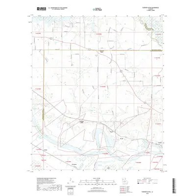
2018 Map of Fairview Alpha
USGS Topo · Published 2018About this map
Red River floodplains and historical parish boundaries define this section of the Louisiana river valley at the border of Red River and Natchitoches parishes. The landscape is a network of bayous and remnant river channels, including Flat Bayou, Sims Bayou, and the expansive Oldriver Red River. Smaller communities like Fairview Alpha and Grappes Bluff are situated along the higher ground above the river's path, while more established settlements such as Campti and Powhatan anchor the southern reaches of the map near the river's edge.
Find a feature on this map
77 named features on this map. Tap any name to fly to it.
Don’t see what you’re looking for? This feature index may not catch every label — zoom into the map to look around manually.
Map Details
Editions of this 2018 Fairview Alpha Map
This is the sole edition of this map. No revisions or reprints were ever made.
Other maps of this area

1937 · Campti NE
USGS Topo · 1:31,680

1937 · Campti SE
USGS Topo · 1:31,680

1937 · Campti NW
USGS Topo · 1:31,680

1937 · Campti SW
USGS Topo · 1:31,680

1938 · Allen
USGS Topo · 1:31,680

1938 · Lake End
USGS Topo · 1:31,680

1944 · Campti
USGS Topo · 1:62,500

1947 · Ashland
USGS Topo · 1:62,500

1947 · Hanna
USGS Topo · 1:62,500

1948 · Coushatta
USGS Topo · 1:62,500