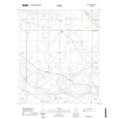
2020 Map of Fairview Alpha
USGS Topo · Published 2020About this map
Red River currents define the southern landscape of this Natchitoches Parish region, creating a complex network of backwaters and named features like Oldriver Red River, The Crevasse, and Smith Island. The settlement at Fairview Alpha serves as a central hub, while the smaller communities of Kraft, Wood, and Timon are dispersed among the bayous and parish roads. Genealogists can locate several local burial grounds, including Bethany Cem, Zion Cem, and Hawes Cem, which are scattered throughout the agricultural and wetland terrain north of the river.
Find a feature on this map
70 named features on this map. Tap any name to fly to it.
Don’t see what you’re looking for? This feature index may not catch every label — zoom into the map to look around manually.
Map Details
Editions of this 2020 Fairview Alpha Map
This is the sole edition of this map. No revisions or reprints were ever made.
Other maps of this area

1937 · Campti NE
USGS Topo · 1:31,680

1937 · Campti SE
USGS Topo · 1:31,680

1937 · Campti NW
USGS Topo · 1:31,680

1937 · Campti SW
USGS Topo · 1:31,680

1938 · Allen
USGS Topo · 1:31,680

1938 · Lake End
USGS Topo · 1:31,680

1944 · Campti
USGS Topo · 1:62,500

1947 · Ashland
USGS Topo · 1:62,500

1947 · Hanna
USGS Topo · 1:62,500

1948 · Coushatta
USGS Topo · 1:62,500