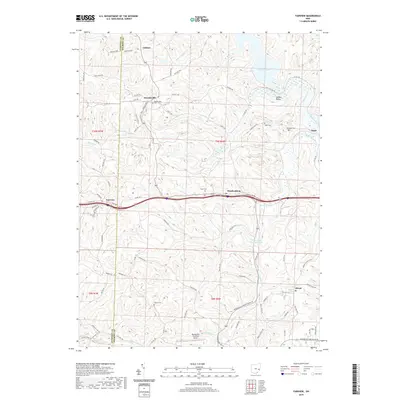
2019 Map of Fairview
USGS Topo · Published 2019About this map
Fairview and Hendrysburg anchor this topographical study of the border between Guernsey and Belmont Counties. The landscape is defined by the sharp dissected plateaus of eastern Ohio, where drainage systems like Skull Fork and Spencer Cr have carved deep valleys into the terrain. Smaller settlements such as Sewelsville, Cabinet, and the evocative Sixteen Valley are connected by a network of township roads and county highways that trace the ridgelines. Local history is preserved in several burial grounds, including the Old Egypt Cem near the community of Egypt and the Gibson Cem further south. Near the southern edge, the Barnesville-Bradfield Airport represents a modern navigational landmark amidst a largely rural area. The northern reaches are shaped by the shoreline of Piedmont Lake, illustrating how the region's water management and recreation infrastructure integrate with the established rural road system.
Find a feature on this map
89 named features on this map. Tap any name to fly to it.
Don’t see what you’re looking for? This feature index may not catch every label — zoom into the map to look around manually.
Map Details
Editions of this 2019 Fairview Map
This is the sole edition of this map. No revisions or reprints were ever made.
Other maps of this area

1903 · Flushing
USGS Topo · 1:62,500

1905 · Woodsfield
USGS Topo · 1:62,500

1905 · Flushing
USGS Topo · 1:62,500

1909 · Antrim
USGS Topo · 1:48,000

1909 · Summerfield
USGS Topo · 1:62,500

1911 · Antrim
USGS Topo · 1:62,500

1911 · Summerfield
USGS Topo · 1:62,500

1949 · Clarksburg
USGS Topo · 1:250,000

1951 · Canton
USGS Topo · 1:250,000

1953 · Canton
USGS Topo · 1:250,000