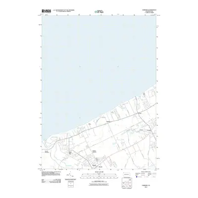
2010 Map of Fairview
USGS Topo · Published 2010About this map
The southern shoreline of Lake Erie defines the character of this Erie County landscape, where the settlements of Fairview and Girard anchor the interior. The map shows a clear transition from the lakeside recreation areas, such as Great Lakes Camp, Camp Sherwin, and Camp Caledon, to the established agricultural and residential grid inland. Transportation and infrastructure are central to the area's layout, highlighted by the rail-related hubs at Girard Junction and Wallace Junction, which historically served the movement of goods and people along the lakefront corridor.
Find a feature on this map
34 named features on this map. Tap any name to fly to it.
Don’t see what you’re looking for? This feature index may not catch every label — zoom into the map to look around manually.
Map Details
Editions of this 2010 Fairview Map
This is the sole edition of this map. No revisions or reprints were ever made.
Other maps of this area

1899 · Erie
USGS Topo · 1:62,500

1900 · Girard
USGS Topo · 1:62,500

1900 · Erie
USGS Topo · 1:62,500

1900 · Fairview
USGS Topo · 1:62,500

1923 · Cambridge Springs
USGS Topo · 1:62,500

1925 · Cambridge Springs
USGS Topo · 1:62,500

1943 · Cambridge Springs
USGS Topo · 1:62,500

1950 · Cleveland
USGS Topo · 1:250,000

1950 · Erie
USGS Topo · 1:250,000

1956 · Cleveland
USGS Topo · 1:250,000