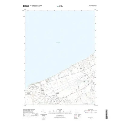
2019 Map of Fairview
USGS Topo · Published 2019About this map
The Lake Erie shoreline of Erie County is defined by steep bluffs and the winding path of Elk Creek, which makes its way to the lake at The Mouth. This 2019 survey captures the developed corridor of the Pennsylvania lakefront, where the settlements of Lake City, Girard, and Fairview form a contiguous network of residential streets and arterial roads like Ridge Rd. The landscape is a mix of small-town centers and rural tracts, interspersed with significant genealogical markers including the Old Almshouse Cem and Saint Johns Cem.
Find a feature on this map
95 named features on this map. Tap any name to fly to it.
Don’t see what you’re looking for? This feature index may not catch every label — zoom into the map to look around manually.
Map Details
Editions of this 2019 Fairview Map
This is the sole edition of this map. No revisions or reprints were ever made.
Other maps of this area

1899 · Erie
USGS Topo · 1:62,500

1900 · Girard
USGS Topo · 1:62,500

1900 · Erie
USGS Topo · 1:62,500

1900 · Fairview
USGS Topo · 1:62,500

1923 · Cambridge Springs
USGS Topo · 1:62,500

1925 · Cambridge Springs
USGS Topo · 1:62,500

1943 · Cambridge Springs
USGS Topo · 1:62,500

1950 · Cleveland
USGS Topo · 1:250,000

1950 · Erie
USGS Topo · 1:250,000

1956 · Cleveland
USGS Topo · 1:250,000