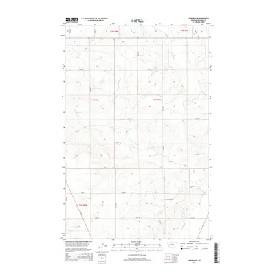
2017 Map of Fairview SW
USGS Topo · Published 2017About this map
Main Canal and Lateral G dominate the southern portion of this landscape, marking the infrastructure of the Lower Yellowstone irrigation project in Richland County. These engineered waterways cut across a terrain defined by natural drainage systems like First Hay Cr and Second Hay Cr. The map reveals a highly structured rural grid, where numerous county roads, such as Co RD 128 and Co RD 134, provide access to the vast agricultural sections of the eastern Montana plains. This 2017 survey reflects the persistent patterns of the Public Land Survey System, with township and range lines like t24n r59e organizing the homesteads and fields that have defined this region since the early twentieth century.
Find a feature on this map
24 named features on this map. Tap any name to fly to it.
Don’t see what you’re looking for? This feature index may not catch every label — zoom into the map to look around manually.
Map Details
Editions of this 2017 Fairview SW Map
This is the sole edition of this map. No revisions or reprints were ever made.
Other maps of this area

1909 · Glendive
USGS Topo · 1:250,000

1954 · Glendive
USGS Topo · 1:250,000

1957 · Glendive
USGS Topo · 1:250,000

1958 · Glendive
USGS Topo · 1:250,000

1966 · Crane NE
USGS Topo · 1:24,000

1966 · Sidney NE
USGS Topo · 1:24,000

1966 · Sidney
USGS Topo · 1:24,000
1968 · Dore
USGS Topo · 1:24,000

1972 · Brorson
USGS Topo · 1:24,000
1972 · Fairview
USGS Topo · 1:24,000