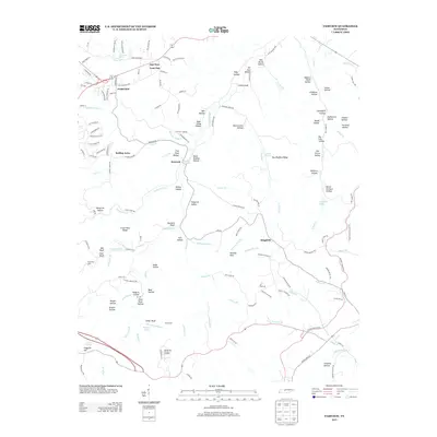
2013 Map of Fairview
USGS Topo · Published 2013About this map
The growing town of Fairview serves as a focal point for this landscape, where the plateau terrain begins its descent through numerous hollows toward the South Harpeth River. Residential developments like Rolling Acres and Lone Oak appear alongside rural landmarks such as Mayfield Spring and the distinctive Lovers Leap. The topography is defined by a dense network of named hollows, including Tobacco Patch Hollow, Sugar Camp Hollow, and Graveyard Hollow, which suggest a history of localized farming and community gathering points. To the south, the terrain becomes increasingly intricate as Caney Fork Creek and Arkansas Creek carve through the hills. Of particular interest for local history are landmarks like the Baptizing Hole on the South Harpeth Creek and the Williamson County Landfill, providing a clear record of land use and community infrastructure in the early twenty-first century.
Find a feature on this map
149 named features on this map. Tap any name to fly to it.
Don’t see what you’re looking for? This feature index may not catch every label — zoom into the map to look around manually.
Map Details
Editions of this 2013 Fairview Map
This is the sole edition of this map. No revisions or reprints were ever made.
Other maps of this area

1901 · Colombia
USGS Topo · 1:125,000

1903 · Nashville
USGS Topo · 1:125,000

1909 · Franklin
USGS Topo · 1:62,500

1930 · White Bluff
USGS Topo · 1:62,500

1932 · Nashville
USGS Topo · 1:62,500

1933 · White Bluff
USGS Topo · 1:62,500

1936 · Primm
USGS Topo · 1:24,000

1936 · Spring Hill
USGS Topo · 1:24,000

1936 · Theta
USGS Topo · 1:24,000

1936 · Craigfield
USGS Topo · 1:24,000