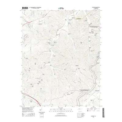
2016 Map of Fairview
USGS Topo · Published 2016About this map
Fairview and Leipers Fork anchor this 2016 survey of the Tennessee interior, where the Tennessee Valley Divide shapes the rugged drainage patterns of Williamson and Davidson counties. The landscape is defined by its deep hollows and high ridges, including Mangrum Hollow, Sugar Camp Hollow, and the prominent Cedar Bluff. The South Harpeth River winds through the central terrain, joined by numerous tributaries such as Caney Fork Cr and Bedford Cr.
Find a feature on this map
163 named features on this map. Tap any name to fly to it.
Don’t see what you’re looking for? This feature index may not catch every label — zoom into the map to look around manually.
Map Details
Editions of this 2016 Fairview Map
This is the sole edition of this map. No revisions or reprints were ever made.
Other maps of this area

1901 · Colombia
USGS Topo · 1:125,000

1903 · Nashville
USGS Topo · 1:125,000

1909 · Franklin
USGS Topo · 1:62,500

1930 · White Bluff
USGS Topo · 1:62,500

1932 · Nashville
USGS Topo · 1:62,500

1933 · White Bluff
USGS Topo · 1:62,500

1936 · Primm
USGS Topo · 1:24,000

1936 · Spring Hill
USGS Topo · 1:24,000

1936 · Theta
USGS Topo · 1:24,000

1936 · Craigfield
USGS Topo · 1:24,000