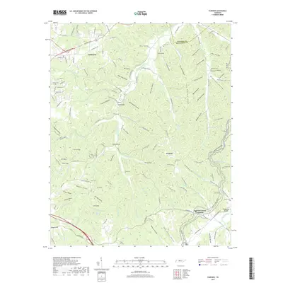
2019 Map of Fairview
USGS Topo · Published 2019About this map
Fairview and its surrounding communities are defined by a complex network of hollows and ridges situated along the Davidson and Williamson county line. The drainage of the South Harpeth River and Leipers Fork shapes the local topography, creating numerous named landmarks such as Buzzard Bluff, Otter Bluff, and Lovers Leap. For genealogists, the map is remarkably dense with family-named cemeteries, including Lampley Cem, Mangrum Cem, and Inman Cem, indicating deep-rooted multi-generational land ownership. The historic Natchez Trace Pkwy traverses the southeast corner near Leipers Fork, following an ancient travel corridor that predates modern state highways like Old State Hwy 96. Small settlements such as Fernvale and Kingfield persist within this landscape of steep timbered hills and winding creek bottoms.
Find a feature on this map
160 named features on this map. Tap any name to fly to it.
Don’t see what you’re looking for? This feature index may not catch every label — zoom into the map to look around manually.
Map Details
Editions of this 2019 Fairview Map
This is the sole edition of this map. No revisions or reprints were ever made.
Other maps of this area

1901 · Colombia
USGS Topo · 1:125,000

1903 · Nashville
USGS Topo · 1:125,000

1909 · Franklin
USGS Topo · 1:62,500

1930 · White Bluff
USGS Topo · 1:62,500

1932 · Nashville
USGS Topo · 1:62,500

1933 · White Bluff
USGS Topo · 1:62,500

1936 · Primm
USGS Topo · 1:24,000

1936 · Spring Hill
USGS Topo · 1:24,000

1936 · Theta
USGS Topo · 1:24,000

1936 · Craigfield
USGS Topo · 1:24,000