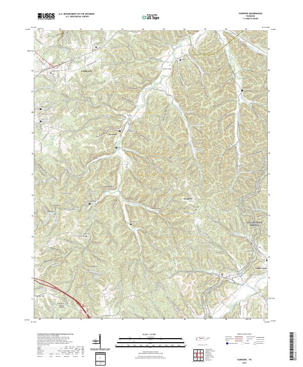
2022 Map of Fairview
USGS Topo · Published 2022About this map
The hills and hollows of middle Tennessee define the landscape between Fairview and Leipers Fork, where the upper reaches of the South Harpeth River weave through a complex network of ridges. The terrain is marked by numerous family-named landmarks and historical burial sites, including the Lampley Cem near the northern boundary and the McPherson Cem tucked into McPherson Hollow. These features suggest a long history of rural homesteading and family plots that predates the modern suburban development visible on the western edge.
Find a feature on this map
164 named features on this map. Tap any name to fly to it.
Don’t see what you’re looking for? This feature index may not catch every label — zoom into the map to look around manually.
Map Details
Editions of this 2022 Fairview Map
This is the sole edition of this map. No revisions or reprints were ever made.
Other maps of this area

1901 · Colombia
USGS Topo · 1:125,000

1903 · Nashville
USGS Topo · 1:125,000

1909 · Franklin
USGS Topo · 1:62,500

1930 · White Bluff
USGS Topo · 1:62,500

1932 · Nashville
USGS Topo · 1:62,500

1933 · White Bluff
USGS Topo · 1:62,500

1936 · Primm
USGS Topo · 1:24,000

1936 · Spring Hill
USGS Topo · 1:24,000

1936 · Theta
USGS Topo · 1:24,000

1936 · Craigfield
USGS Topo · 1:24,000