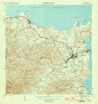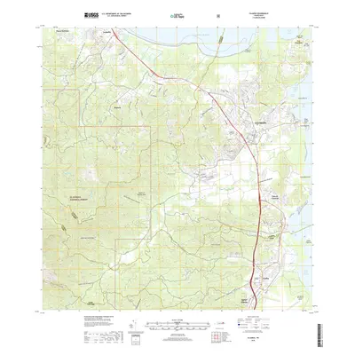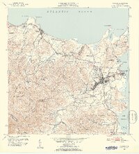
1952 Map of Fajardo
USGS Topo · Published 1953About this map
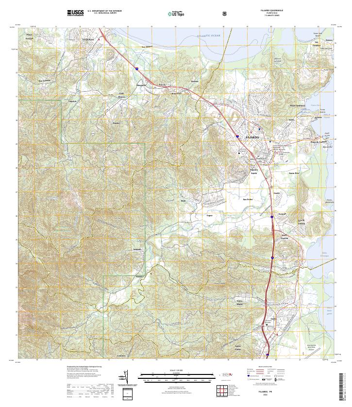
The coastal sugar-producing landscape of northeastern Puerto Rico is dominated by a dense network of agricultural colonies and the expanding urban center of Fajardo. At the start of the 1950s, the terrain between the Sierra de Luquillo and the Sonda de Vieques is largely organized around industrial agriculture, evidenced by the numerous estate-style settlements such as Colonia Monserrate, Colonia Paulina, and Colonia Santa Maria. Along the northern coast, the town of Luquillo and its famous Playa de Luquillo sit adjacent to the wetlands and lagoons of the Cabezas region, including the Laguna Grande.
Find a feature on this map
79 named features on this map. Tap any name to fly to it.
Don’t see what you’re looking for? This feature index may not catch every label — zoom into the map to look around manually.
Map Details
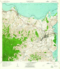
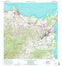
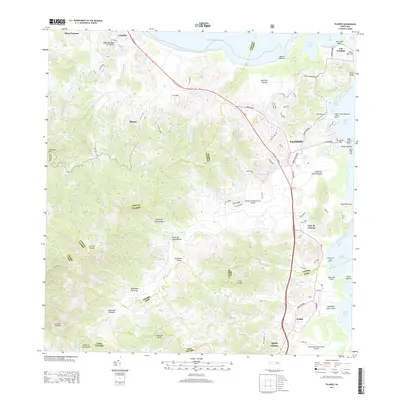
Editions of this 1952 Fajardo Map
2 editions found

Historical Maps of Fajardo Through Time
7 maps found