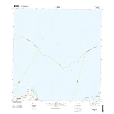
2013 Map of Fajardo OE N
USGS Topo · Published 2013About this map
Luquillo anchors the northeastern shoreline of the Island of Puerto Rico in this detailed 2013 coastal survey. The map highlights the town's position between the Atlantic Ocean and the foothills, featuring the prominent recreation area at Balneario Luquillo and the popular surfing destination at La Pared Beach. Further west, the settlement of Playa Fortuna marks the coastal transition near Punta Embarcadero.
Find a feature on this map
26 named features on this map. Tap any name to fly to it.
Don’t see what you’re looking for? This feature index may not catch every label — zoom into the map to look around manually.
Map Details
Editions of this 2013 Fajardo OE N Map
This is the sole edition of this map. No revisions or reprints were ever made.
Other maps of this area

1941 · Rio Grande
USGS Topo · 1:30,000

1945 · Cayo Icacos
USGS Topo · 1:30,000

1945 · El Yunque
USGS Topo · 1:30,000

1946 · El Yunque
USGS Topo · 1:30,000

1946 · Fajardo
USGS Topo · 1:30,000

1947 · El Yunque NE
USGS Topo · 1:10,000

1947 · Rio Grande
USGS Topo · 1:30,000
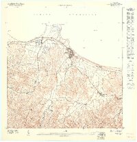
1947 · Fajardo NO
USGS Topo · 1:10,000

1947 · Fajardo NE
USGS Topo · 1:10,000
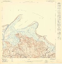
1950 · Rio Grande SE
USGS Topo · 1:10,000