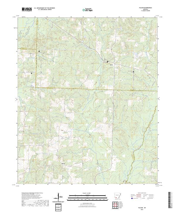
2024 Map of Falcon
USGS Topo · Published 2024About this map
Falcon and the surrounding piney woods of Southwest Arkansas define this landscape, where the borders of Hempstead, Nevada, Lafayette, and Columbia counties converge. The terrain is characterized by a complex network of waterways, including the meandering Bayou Dorcheat and Bodcau Creek, which feed into the area's wetlands. This recent survey illustrates a rural environment shaped by small-scale settlements and the land divisions of the Public Land Survey System, such as t15s r23w. For local historians and genealogists, the map reveals several family and community burial sites, including Falcon Cem, Clever Springs Cem, and Clark Cem. The transition from the upland reaches near Wilson Lake down to the creek bottoms at Tucker Branch highlights the traditional land-use patterns of the region, where roads like Shiloh Rd connect scattered homesteads near Shiloh.
Find a feature on this map
64 named features on this map. Tap any name to fly to it.
Don’t see what you’re looking for? This feature index may not catch every label — zoom into the map to look around manually.
Map Details
Editions of this 2024 Falcon Map
This is the sole edition of this map. No revisions or reprints were ever made.
Other maps of this area

1901 · Gurdon
USGS Topo · 1:125,000

1951 · Patmos
USGS Topo · 1:24,000

1952 · Old Town
USGS Topo · 1:24,000

1952 · Lewisville
USGS Topo · 1:24,000

1953 · El Dorado
USGS Topo · 1:250,000

1957 · El Dorado
USGS Topo · 1:250,000

1958 · El Dorado
USGS Topo · 1:250,000

1960 · El Dorado
USGS Topo · 1:250,000

1968 · Buckner
USGS Topo · 1:24,000

1968 · Lamartine
USGS Topo · 1:24,000