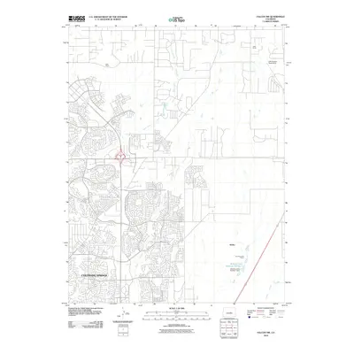
2010 Map of Falcon NW
USGS Topo · Published 2010About this map
Colorado Springs serves as the focal point for this survey, illustrating the rapid suburban expansion into the high plains during the early 21st century. The map highlights the transition from traditional grazing lands to modern residential developments, particularly in the western half of the quadrangle. Several historic agricultural operations remain visible on the landscape, including Wolf Ranch and Hyatt Ranch, providing a window into the region's ranching heritage.
Find a feature on this map
13 named features on this map. Tap any name to fly to it.
Don’t see what you’re looking for? This feature index may not catch every label — zoom into the map to look around manually.
Map Details
Editions of this 2010 Falcon NW Map
This is the sole edition of this map. No revisions or reprints were ever made.
Other maps of this area

1893 · Colorado Springs
USGS Topo · 1:125,000

1894 · Castle Rock
USGS Topo · 1:125,000

1909 · Colorado Springs
USGS Topo · 1:125,000

1913 · Castle Rock
USGS Topo · 1:125,000

1940 · Elbert
USGS Topo · 1:62,500

1942 · Colorado Springs
USGS Topo · 1:125,000

1944 · Elbert
USGS Topo · 1:62,500

1948 · Falcon
USGS Topo · 1:24,000

1948 · Colorado Springs
USGS Topo · 1:62,500

1948 · Pikeview
USGS Topo · 1:24,000