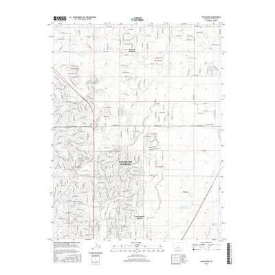
2016 Map of Falcon NW
USGS Topo · Published 2016About this map
Colorado Springs dominates the southwestern portion of this landscape, showcasing the rapid suburban expansion and road networks typical of the mid-2010s. The transition from the urban density of Cimarron Hills and the winding residential drives like E Old Farm Cir and Bluestem Dr into the more open northern reaches of Black Forest illustrates the region's diverse development. To the east, the settlement of Shirley sits in a more sparsely developed area, characterized by the drainage of Sand Creek and its tributaries. Significant water management is evident at the Banning Lewis Reservoir Number 1, while natural drainages like Cottonwood Cr and Shooks Run carve through the increasingly subdivided terrain. The map captures a moment of suburban infill, where established neighborhoods meet the legacy of the high plains ecosystem.
Find a feature on this map
51 named features on this map. Tap any name to fly to it.
Don’t see what you’re looking for? This feature index may not catch every label — zoom into the map to look around manually.
Map Details
Editions of this 2016 Falcon NW Map
This is the sole edition of this map. No revisions or reprints were ever made.
Other maps of this area

1893 · Colorado Springs
USGS Topo · 1:125,000

1894 · Castle Rock
USGS Topo · 1:125,000

1909 · Colorado Springs
USGS Topo · 1:125,000

1913 · Castle Rock
USGS Topo · 1:125,000

1940 · Elbert
USGS Topo · 1:62,500

1942 · Colorado Springs
USGS Topo · 1:125,000

1944 · Elbert
USGS Topo · 1:62,500

1948 · Falcon
USGS Topo · 1:24,000

1948 · Colorado Springs
USGS Topo · 1:62,500

1948 · Pikeview
USGS Topo · 1:24,000