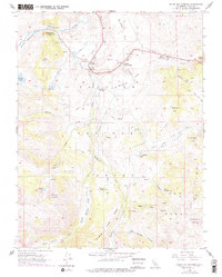
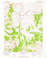
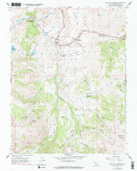
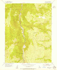
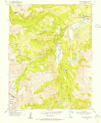
1954 Map of Fales Hot Springs
USGS Topo · Published 1978About this map
The Walker River valley and its surrounding high-altitude reaches in Mono County define this mid-century landscape. This survey documents a critical junction for mountain travel where Sonora Junction and Hardy Station stood as key transit points along the river's path. The map captures the livestock and government presence within the Toiyabe National Forest, evidenced by labels for the Little Walker Cowcamp and the Wheeler Guard Station.
Find a feature on this map
40 named features on this map. Tap any name to fly to it.
Don’t see what you’re looking for? This feature index may not catch every label — zoom into the map to look around manually.
Map Details
Editions of this 1954 Fales Hot Springs Map
4 editions found
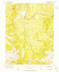
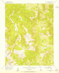
Other maps of this area

1896 · Dardanelles
USGS Topo · 1:125,000

1898 · Dardanelles
USGS Topo · 1:125,000

1909 · Bridgeport
USGS Topo · 1:125,000

1911 · Bridgeport
USGS Topo · 1:125,000

1920 · Bridgeport
USGS Topo · 1:125,000

1948 · Walker Lake
USGS Topo · 1:250,000
1954 · Chris Flat
USGS Topo · 1:24,000
1954 · Pickel Meadow
USGS Topo · 1:24,000
1954 · Fales Hot Springs
USGS Topo · 1:24,000
1954 · Lost Cannon Peak
USGS Topo · 1:24,000