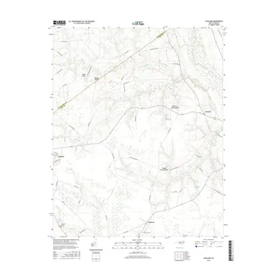
2016 Map of Falkland
USGS Topo · Published 2016About this map
The Tar River and its complex network of tributaries define the borderlands of Edgecombe Co and Pitt County in this 2016 survey. The landscape is a mosaic of lowland drainages and historic rural intersections, where the winding path of Swift Cr meets the larger river system near the town of Falkland. This area is characterized by scattered agricultural communities that have persisted around key road junctions, including Kings Crossroads, Dupree Crossroads, and the small settlement of California.
Find a feature on this map
53 named features on this map. Tap any name to fly to it.
Don’t see what you’re looking for? This feature index may not catch every label — zoom into the map to look around manually.
Map Details
Editions of this 2016 Falkland Map
This is the sole edition of this map. No revisions or reprints were ever made.
Other maps of this area

1901 · Parmele
USGS Topo · 1:62,500

1902 · Parmele
USGS Topo · 1:62,500

1902 · Tarboro
USGS Topo · 1:62,500

1903 · Tarboro
USGS Topo · 1:62,500

1903 · Winterville
USGS Topo · 1:62,500

1904 · Falkland
USGS Topo · 1:62,500

1905 · Winterville
USGS Topo · 1:62,500

1953 · Rocky Mount
USGS Topo · 1:250,000

1954 · Rocky Mount
USGS Topo · 1:250,000
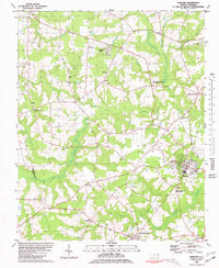
1980 · Pinetops
USGS Topo · 1:24,000