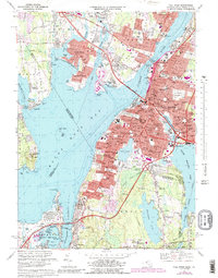
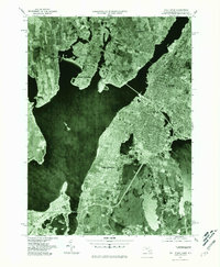
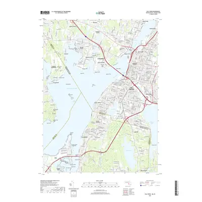
1967 Map of Fall River
USGS Topo · Published 1988About this map
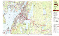
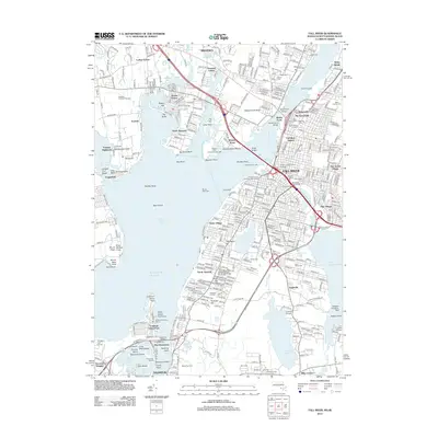
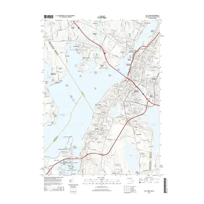
Fall River serves as the industrial and urban anchor of this coastal survey, where the Quequechan River meets Mount Hope Bay. The landscape is a dense network of Catholic parish schools, such as St Elizabeths Ch and St Anne Sch, reflecting the deep-rooted immigrant communities that powered the city's textile and maritime heritage. Beyond the urban core, the map captures the transition to suburban and rural pockets in Somerset, Swansea, and Tiverton. Significant infrastructure like the Braga Bridge and the Sakonnet Bridge span the waterways, while the Conrail lines trace the old rail corridors that once linked these shorelines. From the vast Oak Grove Cemetery to the recreational Touisset Country Club, the sheet documents a post-war era of expansion, including the development of Bristol Community College and several highway interchanges that redefined local transit patterns.
Find a feature on this map
110 named features on this map. Tap any name to fly to it.
Don’t see what you’re looking for? This feature index may not catch every label — zoom into the map to look around manually.
Map Details
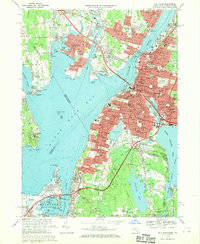
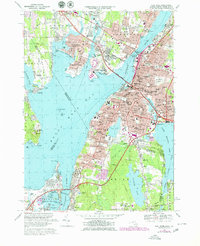
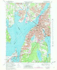
Editions of this 1967 Fall River Map
5 editions found
Historical Maps of Fall River Through Time
13 maps found

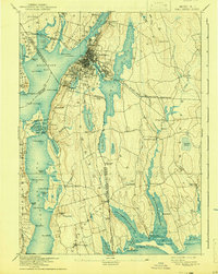
1888 Fall River
Bristol County, MA
1893 Fall River
Bristol County, MA

1919 Fall River
Bristol County, MA
1944 Fall River
Bristol County, MA
1949 Fall River
Bristol County, MA
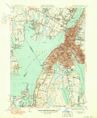
1967 Fall River
Bristol County, MA
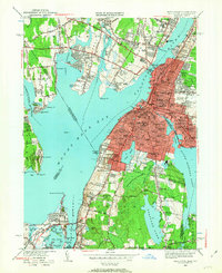
1977 Fall River
Bristol County, MA
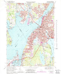
1985 Fall River
Bristol County, MA
2012 Fall River
Bristol County, MA
2015 Fall River
Bristol County, MA
2018 Fall River
Bristol County, MA

2021 Fall River
Bristol County, MA
2024 Fall River
Bristol County, MA