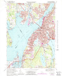
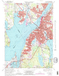
1967 Map of Fall River
USGS Topo · Published 1988About this map
Fall River serves as the industrial and urban anchor of this late 1960s study, where the Quequechan River meets the deep waters of Mount Hope Bay. The landscape is defined by its complex shoreline and the bridges that connect it, including the Braga Bridge and Sakonnet Bridge, alongside a dense network of neighborhoods like Globe Village and Pottersville. The map captures the city at a moment of significant infrastructure development, shown by the numerous interchanges along the Conrail rail lines and modern highways.
Find a feature on this map
167 named features on this map. Tap any name to fly to it.
Don’t see what you’re looking for? This feature index may not catch every label — zoom into the map to look around manually.
Map Details
Editions of this 1967 Fall River Map
5 editions found
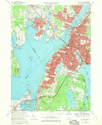
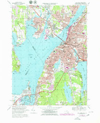
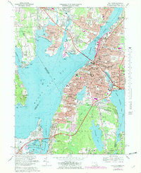
Other maps of this area

1885 · Taunton
USGS Topo · 1:62,500

1887 · Providence
USGS Topo · 1:62,500

1888 · Fall River
USGS Topo · 1:62,500

1888 · Taunton
USGS Topo · 1:62,500

1889 · Providence
USGS Topo · 1:62,500

1890 · Narragansett Bay
USGS Topo · 1:62,500

1892 · Narragansett Bay
USGS Topo · 1:62,500

1893 · Taunton
USGS Topo · 1:62,500

1893 · Fall River
USGS Topo · 1:62,500

1894 · Providence
USGS Topo · 1:62,500