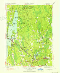
1951 Map of Fall River East
USGS Topo · Published 1951About this map
North Watuppa Pond and South Watuppa Pond dominate the western landscape of this Bristol County region, which is characterized by a mix of protected woodlands and localized industrial development during the early 1950s. The massive Freetown Fall River State Forest covers the northern portion, featuring landmarks such as King Philip Spring and the Copicut Hill fire tower. In the south, the New York New Haven and Hartford railroad cuts through the terrain, connecting several small communities and industry points.
Find a feature on this map
57 named features on this map. Tap any name to fly to it.
Don’t see what you’re looking for? This feature index may not catch every label — zoom into the map to look around manually.
Map Details
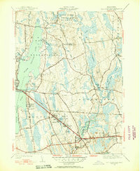
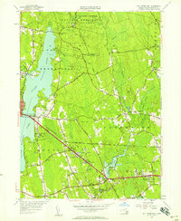
Editions of this 1951 Fall River East Map
3 editions found
Other maps of this area

1885 · New Bedford
USGS Topo · 1:62,500

1885 · Middleboro
USGS Topo · 1:62,500

1885 · Taunton
USGS Topo · 1:62,500

1888 · New Bedford
USGS Topo · 1:62,500

1888 · Fall River
USGS Topo · 1:62,500

1888 · Taunton
USGS Topo · 1:62,500

1888 · Middleboro
USGS Topo · 1:62,500

1893 · Taunton
USGS Topo · 1:62,500

1893 · Middleboro
USGS Topo · 1:62,500

1893 · Fall River
USGS Topo · 1:62,500