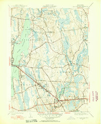
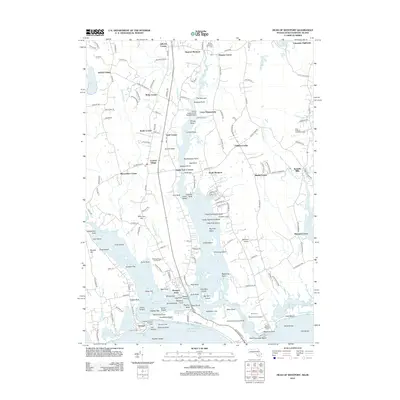
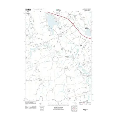
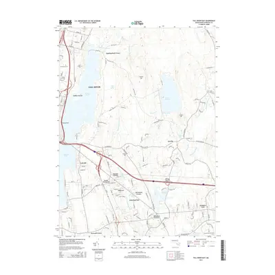
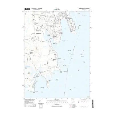
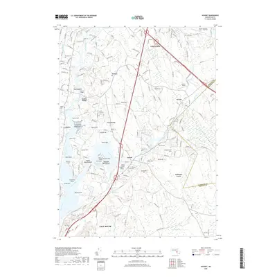
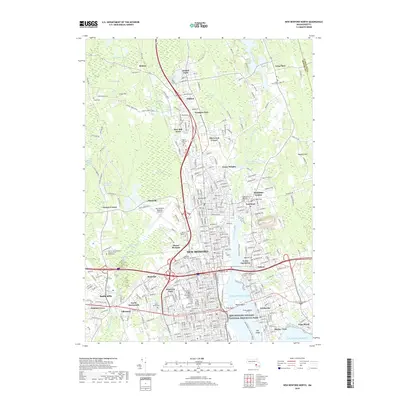
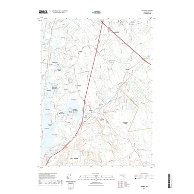
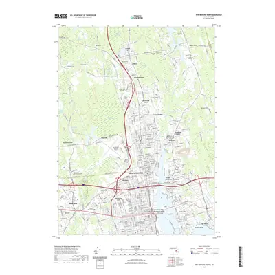
1951 Map of Fall River East
USGS Topo · Published 1951About this map
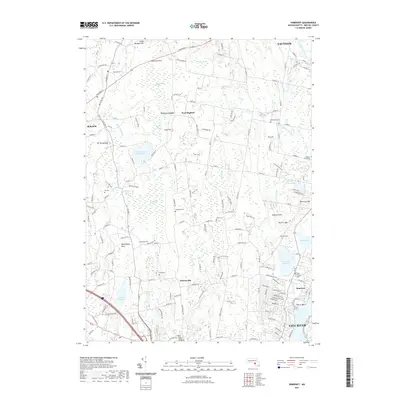
Watuppa Pond Reservoir dominates the western edge of this 1951 revision, serving as a massive water catchment for the surrounding industrial centers. The landscape transition from the densely wooded Freetown Fall River State Forest in the north to the burgeoning suburban corridors of Westport and Dartmouth reflects the era's post-war expansion. Along the southern rail line of the New York New Haven and Hartford, small named settlements like Beulah Corners and Hillcrest sit adjacent to Lincoln Park, an established local landmark. The eastern half of the map is defined by the winding Copicut River and Shingle Island River, feeding into Noquochoke Lake. This drainage network once powered the namesake Westport Factory, illustrating the region's shift from rural mill sites to a landscape of early 1950s residential subdivisions and improved state highways.
Find a feature on this map
71 named features on this map. Tap any name to fly to it.
Don’t see what you’re looking for? This feature index may not catch every label — zoom into the map to look around manually.
Map Details
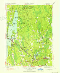
Editions of this 1951 Fall River East Map
3 editions found
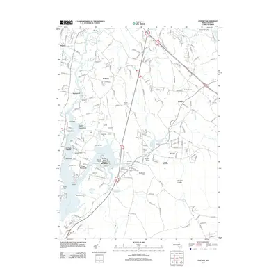
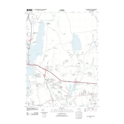
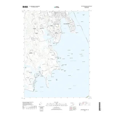
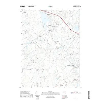
Historical Maps of Fall River Through Time
80 maps found

1893 Fairhaven
Bristol County, MA

1936 New Bedford North
Bristol County, MA

1936 South Dartmouth
Bristol County, MA

1940 Sconticut Neck
Bristol County, MA

1941 New Bedford North
Bristol County, MA

1941 New Bedford South
Bristol County, MA

1943 Assonet
Bristol County, MA

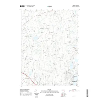
1943 Somerset
Bristol County, MA

1944 Fall River East
Bristol County, MA

1944 Norton
Bristol County, MA

1948 New Bedford North
Bristol County, MA

1948 New Bedford South
Bristol County, MA

1948 Sconticut Neck
Bristol County, MA

1948 Somerset
Bristol County, MA

1951 Assonet
Bristol County, MA

1951 Fall River East
Bristol County, MA

1951 Norton
Bristol County, MA

1962 Sconticut Neck
Bristol County, MA

1963 Assonet
Bristol County, MA

1963 Fall River East
Bristol County, MA

1963 New Bedford South
Bristol County, MA

1964 New Bedford North
Bristol County, MA

1964 Norton
Bristol County, MA

1967 Somerset
Bristol County, MA

1975 Sconticut Neck
Bristol County, MA

1977 Assonet
Bristol County, MA

1977 Fall River East
Bristol County, MA

1977 New Bedford North
Bristol County, MA

1977 New Bedford South
Bristol County, MA

1977 Norton
Bristol County, MA

1977 Sconticut Neck
Bristol County, MA

1977 Somerset
Bristol County, MA

1979 New Bedford North
Bristol County, MA

1985 Somerset
Bristol County, MA

1985 Westport
Bristol County, MA
2012 Assonet
Bristol County, MA
2012 Fall River East
Bristol County, MA
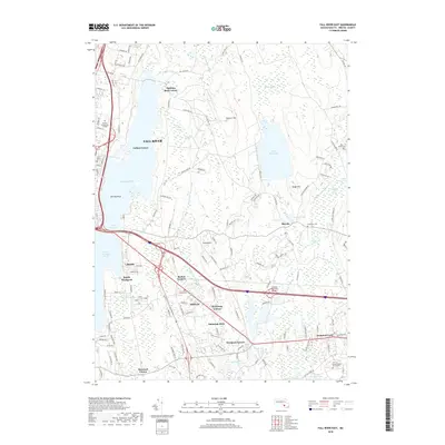
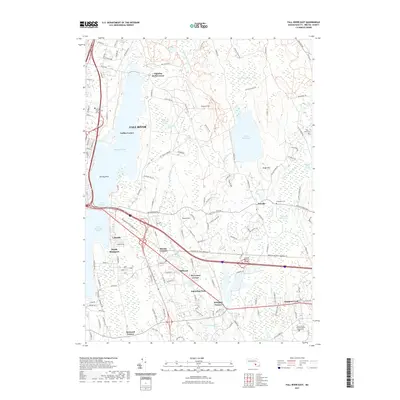
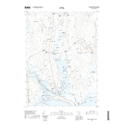
2012 Head of Westport
Bristol County, MA
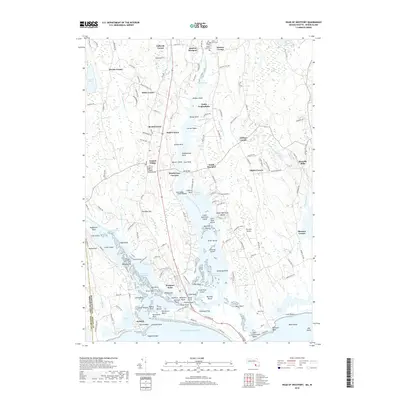
2012 Head of Westport OE S
Bristol County, MA
2012 New Bedford North
Bristol County, MA
2012 New Bedford South
Bristol County, MA
2012 Norton
Bristol County, MA
2012 Sconticut Neck
Bristol County, MA
2012 Somerset
Bristol County, MA
2015 Assonet
Bristol County, MA
2015 Fall River East
Bristol County, MA
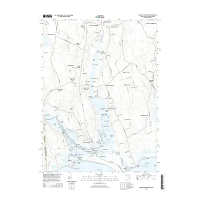
2015 Head of Westport
Bristol County, MA
2015 Head of Westport OE S
Bristol County, MA
2015 New Bedford North
Bristol County, MA
2015 New Bedford South
Bristol County, MA
2015 Norton
Bristol County, MA
2015 Sconticut Neck
Bristol County, MA
2015 Somerset
Bristol County, MA
2018 Assonet
Bristol County, MA
2018 Fall River East
Bristol County, MA
2018 Head of Westport
Bristol County, MA
2018 Head of Westport OE S
Bristol County, MA
2018 New Bedford North
Bristol County, MA
2018 New Bedford South
Bristol County, MA
2018 Norton
Bristol County, MA
2018 Sconticut Neck
Bristol County, MA
2018 Somerset
Bristol County, MA
2021 Assonet
Bristol County, MA
2021 Fall River East
Bristol County, MA
2021 Head of Westport
Bristol County, MA

2021 Head of Westport OE S
Bristol County, MA
2021 New Bedford North
Bristol County, MA
2021 New Bedford South
Bristol County, MA
2021 Norton
Bristol County, MA
2021 Sconticut Neck
Bristol County, MA
2021 Somerset
Bristol County, MA

2024 Assonet
Bristol County, MA

2024 Fall River East
Bristol County, MA

2024 Head of Westport
Bristol County, MA

2024 Head of Westport OE S
Bristol County, MA

2024 New Bedford North
Bristol County, MA

2024 New Bedford South
Bristol County, MA

2024 Norton
Bristol County, MA

2024 Sconticut Neck
Bristol County, MA

2024 Somerset
Bristol County, MA