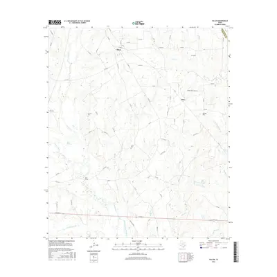
2016 Map of Fallon
USGS Topo · Published 2016About this map
The Navasota River and its intricate drainage network define this Limestone County landscape, where the Old Channel Navasota River marks the former path of the waterway near the modern crossing at Long Bridge. Small rural settlements like Shiloh and Fallon are connected by a web of county roads and farm-to-market routes, while the presence of Mitchell Energy indicates the industrial footprint of local resource extraction.
Find a feature on this map
73 named features on this map. Tap any name to fly to it.
Don’t see what you’re looking for? This feature index may not catch every label — zoom into the map to look around manually.
Map Details
Editions of this 2016 Fallon Map
This is the sole edition of this map. No revisions or reprints were ever made.
Other maps of this area

1920 · Mexia
USGS Topo · 1:62,500

1954 · Waco
USGS Topo · 1:250,000

1955 · Waco
USGS Topo · 1:250,000

1957 · Groesbeck
USGS Topo · 1:62,500

1960 · Groesbeck
USGS Topo · 1:24,000

1960 · Tehuacana
USGS Topo · 1:24,000

1963 · Teague North
USGS Topo · 1:24,000

1963 · Mexia
USGS Topo · 1:24,000

1966 · Thornton
USGS Topo · 1:24,000
1966 · Teague South
USGS Topo · 1:24,000