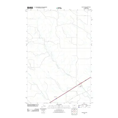
2011 Map of Fallon NE
USGS Topo · Published 2011About this map
Bad Route Creek and its many winding tributaries define this prairie landscape in eastern Montana. This 2011 survey illustrates a sparsely populated section of Prairie County, where the terrain is marked by the prominence of Denbys Peak to the south. The area serves as a transit corridor, bisected by a major interstate highway and supported by a network of rural routes including Bad Route Rd and Road 248. The presence of the Glendive West Rest Area highlights the importance of this artery for travelers through the high plains. Further south, Hatchet Creek cuts through the topography, reflecting the natural drainage patterns that have historically influenced land use and ranching boundaries in this part of the state.
Find a feature on this map
12 named features on this map. Tap any name to fly to it.
Don’t see what you’re looking for? This feature index may not catch every label — zoom into the map to look around manually.
Map Details
Editions of this 2011 Fallon NE Map
This is the sole edition of this map. No revisions or reprints were ever made.
Other maps of this area

1909 · Glendive
USGS Topo · 1:250,000

1953 · Miles City
USGS Topo · 1:250,000

1954 · Glendive
USGS Topo · 1:250,000

1957 · Miles City
USGS Topo · 1:250,000

1957 · Glendive
USGS Topo · 1:250,000

1958 · Miles City
USGS Topo · 1:250,000

1958 · Glendive
USGS Topo · 1:250,000

1966 · Fallon
USGS Topo · 1:24,000

1966 · Marsh SW
USGS Topo · 1:24,000

1967 · Marsh
USGS Topo · 1:24,000