
1966 Map of Fallon
USGS Topo · Published 1970About this map
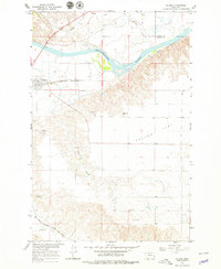
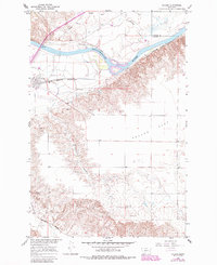
The Yellowstone River cuts a wide path through this Eastern Montana landscape, defining the boundary between Dawson and Prairie counties. The settlement of Fallon serves as a focal point near the western edge, positioned where the Northern Pacific railroad tracks parallel the river's course. To the south, the Chicago Milwaukee St Paul and Pacific line crosses O'Fallon Creek, illustrating the importance of rail transit for this plains region during the mid-1960s. The terrain transitions from the low-lying Fallon Flat to the dissected coulees of the southern hills, including Plum Coulee. Local history is anchored by the Community Cem and the route of the Lewis and Clark Trail, which traces the high ground above the river valley. Scattered Gravel Pits and several pumping stations suggest a landscape utilized for both resource extraction and water management via the Canal system near Hatchet Creek.
Find a feature on this map
18 named features on this map. Tap any name to fly to it.
Don’t see what you’re looking for? This feature index may not catch every label — zoom into the map to look around manually.
Map Details
Editions of this 1966 Fallon Map
3 editions found
Other maps of this area

1953 · Miles City
USGS Topo · 1:250,000

1957 · Miles City
USGS Topo · 1:250,000

1958 · Miles City
USGS Topo · 1:250,000

1966 · Marsh SW
USGS Topo · 1:24,000

1967 · Marsh
USGS Topo · 1:24,000
1967 · Fallon NE
USGS Topo · 1:24,000

1969 · Flat Top Butte
USGS Topo · 1:24,000

1969 · Flat Top Butte NE
USGS Topo · 1:24,000

1972 · Hendrickson Coulee
USGS Topo · 1:24,000
1972 · Fallon SW
USGS Topo · 1:24,000