
1972 Map of Hendrickson Coulee
USGS Topo · Published 1975About this map
Bad Route Creek and its many seasonal tributaries carve a complex drainage system through this corner of the Montana plains, straddling the line between Dawson Co and Prairie Co. The landscape is defined by deep, eroded draws such as Hendrickson Coulee, Dickhoff Coulee, and Hatchet Creek, which demonstrate the stark hydrology of the region in the early 1970s.
Find a feature on this map
11 named features on this map. Tap any name to fly to it.
Don’t see what you’re looking for? This feature index may not catch every label — zoom into the map to look around manually.
Map Details
Editions of this 1972 Hendrickson Coulee Map
This is the sole edition of this map. No revisions or reprints were ever made.
Other maps of this area

1953 · Miles City
USGS Topo · 1:250,000

1954 · Glendive
USGS Topo · 1:250,000

1957 · Miles City
USGS Topo · 1:250,000

1957 · Glendive
USGS Topo · 1:250,000

1958 · Miles City
USGS Topo · 1:250,000

1958 · Glendive
USGS Topo · 1:250,000

1966 · Fallon
USGS Topo · 1:24,000
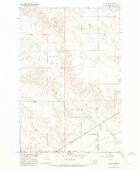
1967 · Fallon NE
USGS Topo · 1:24,000

1972 · Diamond G Creek
USGS Topo · 1:24,000
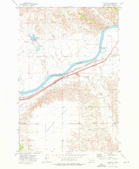
1972 · Fallon SW
USGS Topo · 1:24,000