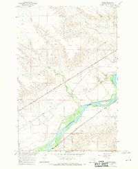
1967 Map of Fallon NE
USGS Topo · Published 1971About this map
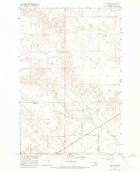
Lewis and Clark Trail follows the historical corridor through this portion of eastern Montana, crossing a landscape defined by deep drainage networks. The geography is dominated by the winding path of Bad Route Creek, which carves through the central portion of the terrain, joined by smaller tributaries like Cracker Box Creek and Hatchet Creek. This 1967 field-checked study captures the land as the Main Canal and various Pipeline routes begin to reshape the local hydrology.
Find a feature on this map
8 named features on this map. Tap any name to fly to it.
Don’t see what you’re looking for? This feature index may not catch every label — zoom into the map to look around manually.
Map Details
Editions of this 1967 Fallon NE Map
2 editions found
Other maps of this area

1909 · Glendive
USGS Topo · 1:250,000

1953 · Miles City
USGS Topo · 1:250,000

1954 · Glendive
USGS Topo · 1:250,000

1957 · Miles City
USGS Topo · 1:250,000

1957 · Glendive
USGS Topo · 1:250,000

1958 · Miles City
USGS Topo · 1:250,000

1958 · Glendive
USGS Topo · 1:250,000
1966 · Fallon
USGS Topo · 1:24,000
1966 · Marsh SW
USGS Topo · 1:24,000
1967 · Marsh
USGS Topo · 1:24,000