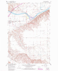
1966 Map of Fallon
USGS Topo · Published 1985About this map
The Yellowstone River cuts a wide path through this prairie landscape, defining the transition between the irrigated lowlands and the higher breaks of the Fallon Flat. The settlement of Fallon serves as a focal point along the Burlington Northern railroad, a corridor that also carries major regional pipelines and infrastructure through the river valley. Evidence of the area's agricultural reliance on water management is clear from the Main Canal and various pumping stations that tap into the river's flow.
Find a feature on this map
20 named features on this map. Tap any name to fly to it.
Don’t see what you’re looking for? This feature index may not catch every label — zoom into the map to look around manually.
Map Details
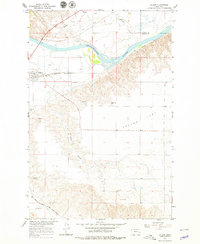
Editions of this 1966 Fallon Map
3 editions found
Other maps of this area

1953 · Miles City
USGS Topo · 1:250,000

1957 · Miles City
USGS Topo · 1:250,000

1958 · Miles City
USGS Topo · 1:250,000

1966 · Fallon
USGS Topo · 1:24,000

1966 · Marsh SW
USGS Topo · 1:24,000

1967 · Marsh
USGS Topo · 1:24,000
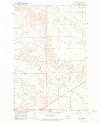
1967 · Fallon NE
USGS Topo · 1:24,000

1969 · Flat Top Butte
USGS Topo · 1:24,000

1969 · Flat Top Butte NE
USGS Topo · 1:24,000

1972 · Hendrickson Coulee
USGS Topo · 1:24,000