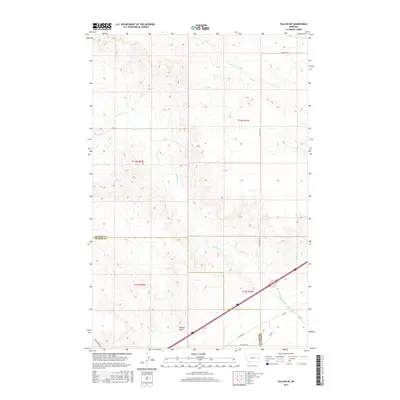
2017 Map of Fallon NE
USGS Topo · Published 2017About this map
Denbys Peak rises above the open range of eastern Montana, where the jurisdictional boundary between Dawson and Prairie Counties cuts across a landscape defined by seasonal drainages. This high-plains terrain is carved by the winding paths of Bad Route Cr and Hatchet Cr, reflecting the region's sparse but critical water network. The spatial organization of the area is tied to its ranching heritage, with long-established corridors like Whoopup Rd and Bad Route Rd providing essential passage through the breaks. Modern infrastructure is visible where the Interstate 94 corridor clips the southeastern corner of the map, contrasting with the remote section lines and rugged coulees that dominate the northern reaches near N Fork Cracker Box Cr.
Find a feature on this map
19 named features on this map. Tap any name to fly to it.
Don’t see what you’re looking for? This feature index may not catch every label — zoom into the map to look around manually.
Map Details
Editions of this 2017 Fallon NE Map
This is the sole edition of this map. No revisions or reprints were ever made.
Other maps of this area

1909 · Glendive
USGS Topo · 1:250,000

1953 · Miles City
USGS Topo · 1:250,000

1954 · Glendive
USGS Topo · 1:250,000

1957 · Miles City
USGS Topo · 1:250,000

1957 · Glendive
USGS Topo · 1:250,000

1958 · Miles City
USGS Topo · 1:250,000

1958 · Glendive
USGS Topo · 1:250,000

1966 · Fallon
USGS Topo · 1:24,000

1966 · Marsh SW
USGS Topo · 1:24,000

1967 · Marsh
USGS Topo · 1:24,000