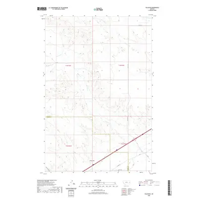
2020 Map of Fallon NE
USGS Topo · Published 2020About this map
Bad Route Cr and its many seasonal tributaries carve through this high prairie landscape on the border of Dawson and Prairie Counties. This portion of Eastern Montana is defined by its drainage network, where Cracker Box Cr and the N Fork Cracker Box Cr reach across the northern sections. The presence of Denbys Peak serves as a primary navigational landmark in an area otherwise dominated by the subtle rise and fall of the plains. A network of rural thoroughfares, including the distinctively named Whoopup Rd and Fallon Tower Rd, connects the scattered ranchlands. The map reveals the modern infrastructure of the 21st century superimposed over the traditional Public Land Survey System grids, illustrating how modern transportation corridors follow the natural contours established by Hatchet Cr and other local waterways.
Find a feature on this map
19 named features on this map. Tap any name to fly to it.
Don’t see what you’re looking for? This feature index may not catch every label — zoom into the map to look around manually.
Map Details
Editions of this 2020 Fallon NE Map
This is the sole edition of this map. No revisions or reprints were ever made.
Other maps of this area

1909 · Glendive
USGS Topo · 1:250,000

1953 · Miles City
USGS Topo · 1:250,000

1954 · Glendive
USGS Topo · 1:250,000

1957 · Miles City
USGS Topo · 1:250,000

1957 · Glendive
USGS Topo · 1:250,000

1958 · Miles City
USGS Topo · 1:250,000

1958 · Glendive
USGS Topo · 1:250,000

1966 · Fallon
USGS Topo · 1:24,000

1966 · Marsh SW
USGS Topo · 1:24,000

1967 · Marsh
USGS Topo · 1:24,000