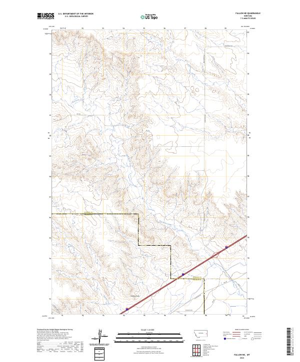
2024 Map of Fallon NE
USGS Topo · Published 2024About this map
Denbys Peak rises as a prominent landmark in this eastern Montana landscape, where the high plains are dissected by the drainage networks of Bad Route Creek and Hatchet Creek. Located along the border of Dawson and Prairie counties, the area is defined by a sparse but essential network of rural routes such as Bad Route Rd and Whoorup Rd. The terrain reveals the complex erosional patterns typical of the region, with numerous unnamed coulees feeding into the primary creek beds. Modern infrastructure, including Fallon Tower Rd and several other numbered access roads like Rd 256, provides the framework for navigating this cattle-country topography. The transition across township boundaries, including t13n r53e and t14n r52e, illustrates the enduring structure of the Public Land Survey System in managing these wide-open spaces.
Find a feature on this map
16 named features on this map. Tap any name to fly to it.
Don’t see what you’re looking for? This feature index may not catch every label — zoom into the map to look around manually.
Map Details
Editions of this 2024 Fallon NE Map
This is the sole edition of this map. No revisions or reprints were ever made.
Other maps of this area

1909 · Glendive
USGS Topo · 1:250,000

1953 · Miles City
USGS Topo · 1:250,000

1954 · Glendive
USGS Topo · 1:250,000

1957 · Miles City
USGS Topo · 1:250,000

1957 · Glendive
USGS Topo · 1:250,000

1958 · Miles City
USGS Topo · 1:250,000

1958 · Glendive
USGS Topo · 1:250,000

1966 · Fallon
USGS Topo · 1:24,000

1966 · Marsh SW
USGS Topo · 1:24,000

1967 · Marsh
USGS Topo · 1:24,000