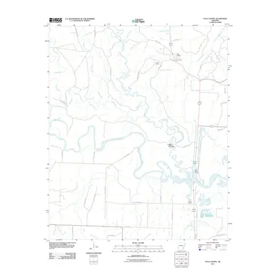
2011 Map of Falls Chapel
USGS Topo · Published 2011About this map
The Cossatot River and Little River converge in this corner of Sevier County, creating a landscape defined by meandering watercourses and low-lying wetlands. The settlement of Falls Chapel serves as a local focal point near the northern edge of the map, situated among a network of rural routes like Cypress Rd and Melrose Rd. Historical markers such as Nobles Mound and the Hopson Cemetery offer significant points of interest for genealogists and local historians tracing the early inhabitants of the region. The map highlights the transition between upland areas and the complex drainage systems of Davis Slough and Wilson Creek. To the south, Millers Crossing and the Mills Cemetery stand as evidence of long-standing community centers along the riverbanks, where the Little River Bridge facilitates travel through the river valley's floodplains.
Find a feature on this map
49 named features on this map. Tap any name to fly to it.
Don’t see what you’re looking for? This feature index may not catch every label — zoom into the map to look around manually.
Map Details
Editions of this 2011 Falls Chapel Map
This is the sole edition of this map. No revisions or reprints were ever made.
Other maps of this area

1950 · Ashdown East
USGS Topo · 1:24,000

1950 · Ashdown West
USGS Topo · 1:24,000

1950 · Ben Lomond
USGS Topo · 1:24,000

1950 · Falls Chapel
USGS Topo · 1:24,000

1950 · Winthrop
USGS Topo · 1:24,000

1951 · Winthrop
USGS Topo · 1:24,000

1951 · Ben Lomond
USGS Topo · 1:24,000

1951 · Ashdown West
USGS Topo · 1:24,000

1951 · Falls Chapel
USGS Topo · 1:24,000

1951 · Ashdown East
USGS Topo · 1:24,000