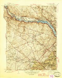
1945 Map of Falls Church
USGS Topo · Published 1945About this map
Tysons Crossroads and the surrounding Fairfax County landscape appear in this mid-1940s survey as a collection of established hamlets and crossroads before the era of major interstate expansion. The northern border follows the Potomac River where a series of river locks, including the noted Lock 14 (Abandoned), trace the legacy of historical canal transport near Great Falls. Further south, the map details the suburban and educational infrastructure of the day, including Madeira School, Villa Maria Academy, and several local institutions like the Odrick Sch and Dunn Loring Sch. Transport is defined by the Old Dominion and Washington Railroad and the branching Leesburg Pike. This era represents the final years of the traditional Virginia countryside before the rapid residential development of the post-war years began to reshape areas like Falls Church and McLean.
Find a feature on this map
156 named features on this map. Tap any name to fly to it.
Don’t see what you’re looking for? This feature index may not catch every label — zoom into the map to look around manually.
Map Details
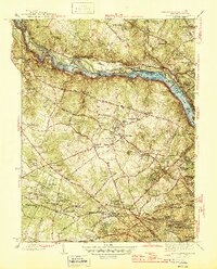
Editions of this 1945 Falls Church Map
2 editions found
Other maps of this area

1890 · Mt. Vernon
USGS Topo · 1:125,000

1891 · Mt. Vernon
USGS Topo · 1:125,000

1893 · Frederick
USGS Topo · 1:125,000

1894 · Frederick
USGS Topo · 1:125,000

1894 · Mt. Vernon
USGS Topo · 1:125,000

1897 · Mt. Vernon
USGS Topo · 1:125,000

1900 · Washington
USGS Topo · 1:62,500

1908 · Rockville
USGS Topo · 1:62,500

1908 · Seneca
USGS Topo · 1:62,500

1915 · Fairfax
USGS Topo · 1:62,500