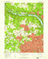
1956 Map of Falls Church
USGS Topo · Published 1958About this map
The Potomac River corridor and its industrial heritage anchor this mid-century survey, showcasing the Chesapeake and Ohio Canal alongside the massive David Taylor Model Basin and various quarries. On the Virginia side, the landscape is in a state of transition as suburban expansion begins to fill the spaces between established hubs like McLean and Falls Church. The route of the Washington and Old Dominion RR cuts through the southern portion of the map, serving as a vital link for the growing communities of Pimmit Hills and Westover.
Find a feature on this map
230 named features on this map. Tap any name to fly to it.
Don’t see what you’re looking for? This feature index may not catch every label — zoom into the map to look around manually.
Map Details
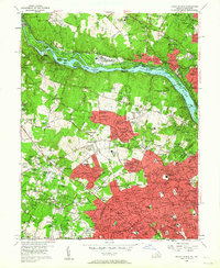
Editions of this 1956 Falls Church Map
2 editions found
Other maps of this area

1890 · Mt. Vernon
USGS Topo · 1:125,000

1891 · Mt. Vernon
USGS Topo · 1:125,000

1893 · Frederick
USGS Topo · 1:125,000

1894 · Frederick
USGS Topo · 1:125,000

1894 · Mt. Vernon
USGS Topo · 1:125,000

1897 · Mt. Vernon
USGS Topo · 1:125,000

1900 · Washington
USGS Topo · 1:62,500

1908 · Rockville
USGS Topo · 1:62,500

1908 · Seneca
USGS Topo · 1:62,500

1915 · Fairfax
USGS Topo · 1:62,500