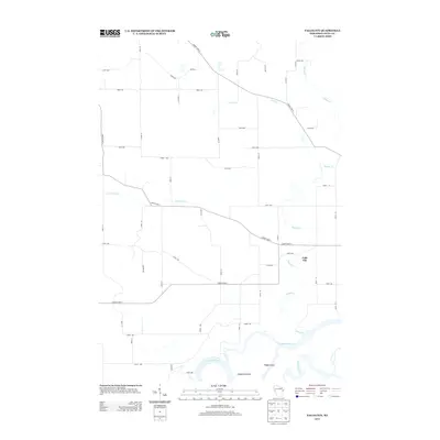
2013 Map of Falls City
USGS Topo · Published 2013About this map
Falls City sits in the eastern reaches of this landscape, positioned above the wide southern bend of the Chippewa River. The river corridor is defined by large landforms within the channel, specifically Chippewa Island and the neighboring Happy Island, which are flanked by the Meridean Slu. This area of Dunn County is characterized by a high-density grid of local roads and county highways that navigate a network of small waterways including Little Elk Cr, Muddy Cr, and Iron Cr. The convergence of these creeks near the main river channel illustrates the drainage patterns of the region, while the strictly numbered road system, such as 310th Ave and 710th St, reflects the systematic rural development surrounding the small settlement of Falls City during the early twenty-first century.
Find a feature on this map
46 named features on this map. Tap any name to fly to it.
Don’t see what you’re looking for? This feature index may not catch every label — zoom into the map to look around manually.
Map Details
Editions of this 2013 Falls City Map
This is the sole edition of this map. No revisions or reprints were ever made.
Other maps of this area

1929 · Durand
USGS Topo · 1:62,500

1932 · Durand
USGS Topo · 1:62,500

1932 · Mondovi
USGS Topo · 1:62,500

1934 · Elk Mound
USGS Topo · 1:62,500

1936 · Elk Mound
USGS Topo · 1:62,500

1940 · Menomonie
USGS Topo · 1:62,500

1942 · Menomonie
USGS Topo · 1:62,500

1953 · Eau Claire
USGS Topo · 1:250,000

1958 · Eau Claire
USGS Topo · 1:250,000

1964 · Eau Claire
USGS Topo · 1:250,000