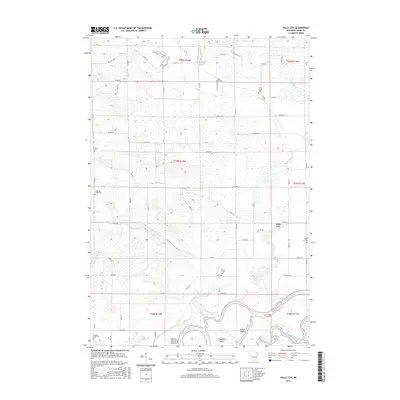
2015 Map of Falls City
USGS Topo · Published 2015About this map
Falls City sits at the heart of this rural Dunn County landscape, where the agricultural uplands transition toward the wide floodplain of the Chippewa River. The southern edge of the map reveals a complex riverine environment featuring Chippewa Island, Happy Island, and the Meridean Slu, along with the wetlands of the Upper Dunnville Bottoms. This topography illustrates the historical reliance on these waterways for transport and the subsequent development of the surrounding farmland.
Find a feature on this map
60 named features on this map. Tap any name to fly to it.
Don’t see what you’re looking for? This feature index may not catch every label — zoom into the map to look around manually.
Map Details
Editions of this 2015 Falls City Map
This is the sole edition of this map. No revisions or reprints were ever made.
Other maps of this area

1929 · Durand
USGS Topo · 1:62,500

1932 · Durand
USGS Topo · 1:62,500

1932 · Mondovi
USGS Topo · 1:62,500

1934 · Elk Mound
USGS Topo · 1:62,500

1936 · Elk Mound
USGS Topo · 1:62,500

1940 · Menomonie
USGS Topo · 1:62,500

1942 · Menomonie
USGS Topo · 1:62,500

1953 · Eau Claire
USGS Topo · 1:250,000

1958 · Eau Claire
USGS Topo · 1:250,000

1964 · Eau Claire
USGS Topo · 1:250,000