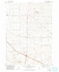
1964 Map of Falls City
USGS Topo · Published 1993About this map
The agricultural landscape of Jerome County is defined by an orderly grid of section roads and water management systems including several named Canal and Ditch features. The small settlement of Falls City and the nearby locality of Barrymore anchor the central portion of the map, connected by the diagonal stretch of Barrymore Road. To the northwest, the edge of Jerome is marked by Jerome High School and its adjacent athletic fields, while the Jerome County Airport serves the region's aviation needs.
Find a feature on this map
31 named features on this map. Tap any name to fly to it.
Don’t see what you’re looking for? This feature index may not catch every label — zoom into the map to look around manually.
Map Details
Editions of this 1964 Falls City Map
2 editions found
Other maps of this area

1950 · Filer
USGS Topo · 1:24,000

1950 · Jerome
USGS Topo · 1:24,000

1950 · Jerome
USGS Topo · 1:62,500

1955 · Twin Falls
USGS Topo · 1:250,000

1958 · Twin Falls
USGS Topo · 1:250,000

1964 · Kimberly
USGS Topo · 1:24,000

1964 · Falls City
USGS Topo · 1:24,000

1964 · Twin Falls
USGS Topo · 1:24,000

1964 · Perrine
USGS Topo · 1:24,000

1971 · Shoshone SE
USGS Topo · 1:24,000