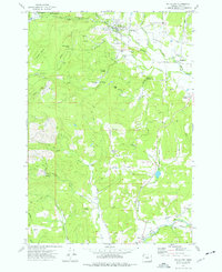
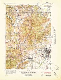
1974 Map of Falls City
USGS Topo · Published 1977About this map
Falls City sits at the northern edge of this mid-1970s landscape, where the Little Luckiamute River cuts through the timberlands of the George T Gerlinger State Experimental Forest. The area's history as a timber and transportation hub is evidenced by the prominent Old Railroad Grade and numerous logging-related features such as Mount Sykes and the Falls City Reservoir. To the south, the terrain descends into the agricultural reaches of Pedee and the McTimmonds Valley, where the confluence of the Luckiamute River and Siletz River defines the local drainage.
Find a feature on this map
48 named features on this map. Tap any name to fly to it.
Don’t see what you’re looking for? This feature index may not catch every label — zoom into the map to look around manually.
Map Details
Editions of this 1974 Falls City Map
This is the sole edition of this map. No revisions or reprints were ever made.
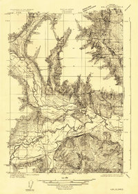
Other maps of this area

1914 · Soap Creek
USGS Topo · 1:31,680

1921 · Corvallis
USGS Topo · 1:62,500
1922 · Airlie
USGS Topo · 1:31,680
1939 · Marys Peak
USGS Topo · 1:62,500
1942 · Marys Peak
USGS Topo · 1:62,500
1942 · Corvallis
USGS Topo · 1:62,500
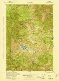
1942 · Valsetz
USGS Topo · 1:62,500
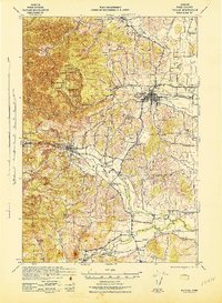
1942 · Dallas
USGS Topo · 1:62,500

1953 · Salem
USGS Topo · 1:250,000

1954 · Salem
USGS Topo · 1:250,000