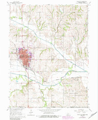
1965 Map of Falls City
USGS Topo · Published 1984About this map
Falls City serves as the focal point of this Richardson County survey, displaying a dense grid of civic and educational life in the mid-1960s. The town core is anchored by the Courthouse and City Hall, with numerous schools such as North Sch, South Sch, and Sacred Heart Sch distributed through the neighborhoods. To the south, the landscape shifts into the valley of the Big Nemaha River, where the Burlington Northern and Missouri Pacific rail lines intersect near the small settlement of Preston.
Find a feature on this map
49 named features on this map. Tap any name to fly to it.
Don’t see what you’re looking for? This feature index may not catch every label — zoom into the map to look around manually.
Map Details
Editions of this 1965 Falls City Map
2 editions found
Other maps of this area

1885 · Atchison
USGS Topo · 1:125,000

1888 · Atchison
USGS Topo · 1:125,000

1888 · Hiawatha
USGS Topo · 1:125,000

1893 · Atchison
USGS Topo · 1:125,000

1894 · Hiawatha
USGS Topo · 1:125,000

1915 · Falls City
USGS Topo · 1:62,500

1920 · Craig
USGS Topo · 1:62,500

1950 · Kansas City
USGS Topo · 1:250,000

1954 · Kansas City
USGS Topo · 1:250,000

1955 · Nebraska City
USGS Topo · 1:250,000