Loading...
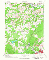
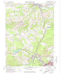
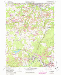
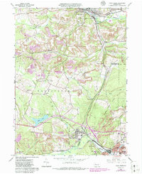
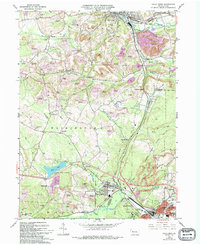
Loading map...1966 Map of Falls Creek
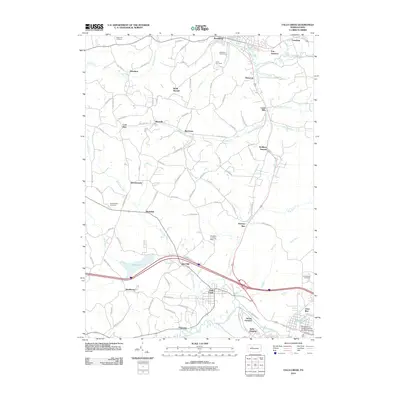
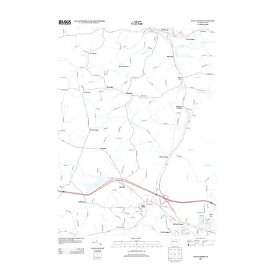
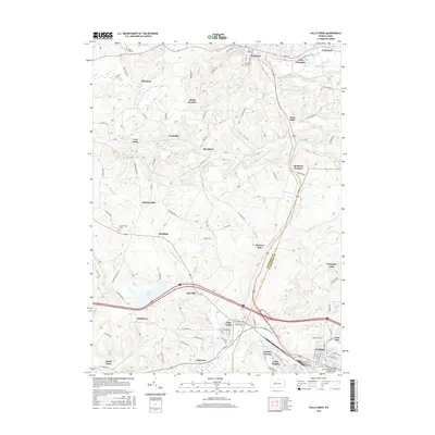
USGS Topo · Published 1968About this map
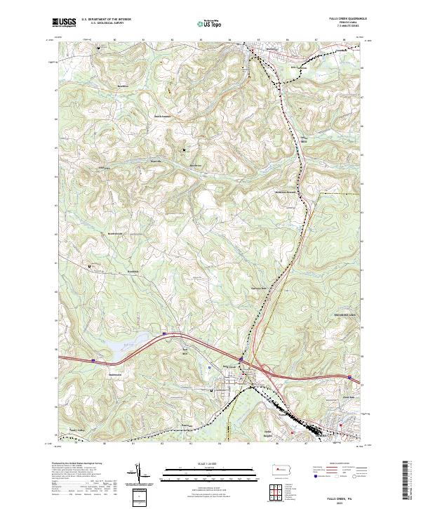
Industrial activity and rural Appalachian settlements define this landscape along the border of Jefferson and Clearfield Counties in the mid-1960s. Falls Creek serves as a prominent rail junction, where the Pennsylvania and Baltimore and Ohio lines converge near Adrian Furnace. The map illustrates the intensive land use of the era, dominated by numerous strip mines that weave through the ridges between Little Toby Creek and Sandy Lick Creek.
Find a feature on this map
48 named features on this map. Tap any name to fly to it.
Don’t see what you’re looking for? This feature index may not catch every label — zoom into the map to look around manually.
Map Details
Date Portrayed1966
Date Published1968
PublisherU.S. Geological Survey
Map TypeTopographic
Scale1:24,000
Physical Dimensions22.1 x 27 inches
Editions of this 1966 Falls Creek Map
5 editions found
Historical Maps of Sandy Township Through Time
6 maps found
Featured Locations
Source Details
SourceU.S. Geological Survey
CopyrightPublic Domain