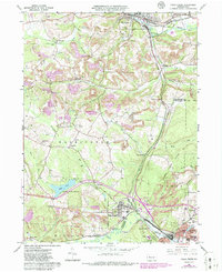
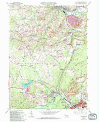
1966 Map of Falls Creek
USGS Topo · Published 1986About this map
Falls Creek and the neighboring industrial hubs of Du Bois and Brockway anchor this mid-1960s landscape at the boundary of Jefferson and Clearfield counties. The area's identity is defined by the heavy presence of extractive industries, evidenced by numerous Strip Mines and the Adrian Furnace near Iselin Heights. Significant rail corridors like the Baltimore and Ohio, Pittsburg and Shawmut, and Conrail weave through the valleys of Little Toby Creek and Sandy Creek, connecting coal-era settlements such as Coal Glen, Lanes Mills, and Westville.
Find a feature on this map
53 named features on this map. Tap any name to fly to it.
Don’t see what you’re looking for? This feature index may not catch every label — zoom into the map to look around manually.
Map Details
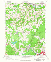
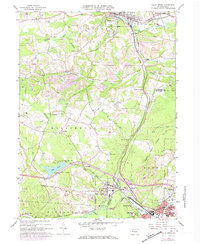
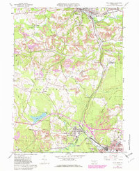
Editions of this 1966 Falls Creek Map
5 editions found
Other maps of this area

1922 · Du Bois
USGS Topo · 1:62,500

1924 · Du Bois
USGS Topo · 1:62,500

1929 · Penfield
USGS Topo · 1:62,500

1932 · Penfield
USGS Topo · 1:62,500

1940 · Hallton
USGS Topo · 1:48,000

1941 · Ridgway
USGS Topo · 1:62,500

1943 · Hallton
USGS Topo · 1:62,500

1944 · Du Bois
USGS Topo · 1:62,500

1944 · Ridgway
USGS Topo · 1:62,500

1957 · Warren
USGS Topo · 1:250,000