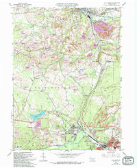
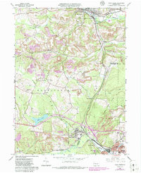
1966 Map of Falls Creek
USGS Topo · Published 1994About this map
Falls Creek and the surrounding borderlands of Jefferson and Clearfield Counties are defined by a complex industrial landscape of extraction and reclamation. The borough of Falls Creek serves as a central hub, while the sprawling Du Bois urban area occupies the southeastern corner. This mid-century survey reveals the extensive footprint of the regional coal industry, with numerous sites designated as Reclaimed Strip Mine or active Strip Mine. These industrial areas are woven between established rural communities such as Lanes Mills, Beechton, and the aptly named Coal Glen.
Find a feature on this map
51 named features on this map. Tap any name to fly to it.
Don’t see what you’re looking for? This feature index may not catch every label — zoom into the map to look around manually.
Map Details
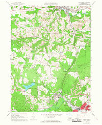
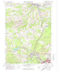
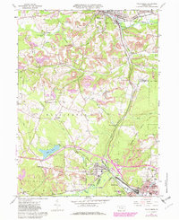
Editions of this 1966 Falls Creek Map
5 editions found
Other maps of this area

1922 · Du Bois
USGS Topo · 1:62,500

1924 · Du Bois
USGS Topo · 1:62,500

1929 · Penfield
USGS Topo · 1:62,500

1932 · Penfield
USGS Topo · 1:62,500

1940 · Hallton
USGS Topo · 1:48,000

1941 · Ridgway
USGS Topo · 1:62,500

1943 · Hallton
USGS Topo · 1:62,500

1944 · Du Bois
USGS Topo · 1:62,500

1944 · Ridgway
USGS Topo · 1:62,500

1957 · Warren
USGS Topo · 1:250,000