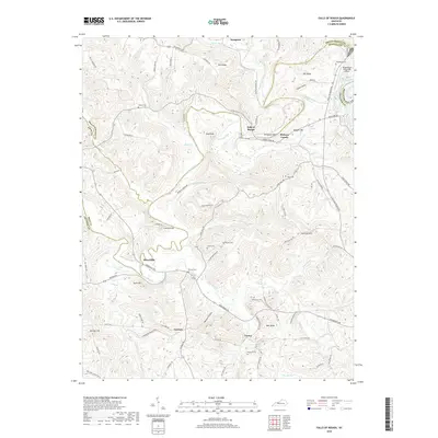
2019 Map of Falls of Rough
USGS Topo · Published 2019About this map
Rough River winds through this Kentucky landscape, defining the boundaries where Breckinridge, Grayson, and Ohio counties converge. The small settlement of Falls of Rough serves as a focal point near McQuady Glen, while other dispersed communities like Hickory Corner, Yeaman, and Tousey are connected by a network of winding roads such as Owensboro Rd and Tickridge Rd.
Find a feature on this map
104 named features on this map. Tap any name to fly to it.
Don’t see what you’re looking for? This feature index may not catch every label — zoom into the map to look around manually.
Map Details
Editions of this 2019 Falls of Rough Map
This is the sole edition of this map. No revisions or reprints were ever made.
Other maps of this area

1922 · Leitchfield
USGS Topo · 1:48,000

1925 · Spring Lick
USGS Topo · 1:62,500

1925 · Leitchfield
USGS Topo · 1:62,500

1932 · Fordsville
USGS Topo · 1:62,500

1953 · Mc Daniels
USGS Topo · 1:24,000

1953 · Kingswood
USGS Topo · 1:24,000

1953 · Falls Of Rough
USGS Topo · 1:24,000
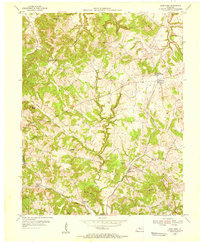
1953 · Glen Dean
USGS Topo · 1:24,000
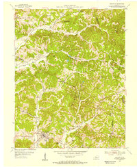
1953 · Fordsville
USGS Topo · 1:24,000

1954 · Evansville
USGS Topo · 1:250,000