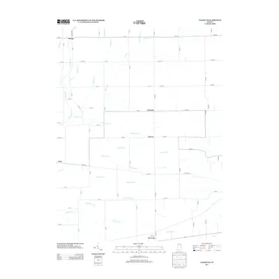
2013 Map of Falmouth
USGS Topo · Published 2013About this map
Raleigh and Falmouth anchor a grid of rural agricultural lanes in this early 21st-century landscape of eastern Indiana. The region is defined by an intricate network of waterways and drainage improvements, where the Flatrock River and Ben Davis Cr are supplemented by named agricultural channels such as Kirkpatrick Ditch, Lawless Ditch, and Prine Ditch. These ditches underscore the century-long effort to manage the high water table for productive farming.
Find a feature on this map
62 named features on this map. Tap any name to fly to it.
Don’t see what you’re looking for? This feature index may not catch every label — zoom into the map to look around manually.
Map Details
Editions of this 2013 Falmouth Map
This is the sole edition of this map. No revisions or reprints were ever made.
Other maps of this area

1948 · Lewisville
USGS Topo · 1:24,000

1950 · Dunreith
USGS Topo · 1:24,000

1950 · Lewisville
USGS Topo · 1:24,000

1953 · Cincinnati
USGS Topo · 1:250,000

1956 · Alpine
USGS Topo · 1:24,000

1956 · Connersville
USGS Topo · 1:24,000

1957 · Cincinnati
USGS Topo · 1:250,000

1959 · Rushville
USGS Topo · 1:24,000

1959 · New Salem
USGS Topo · 1:24,000

1959 · Mays
USGS Topo · 1:24,000