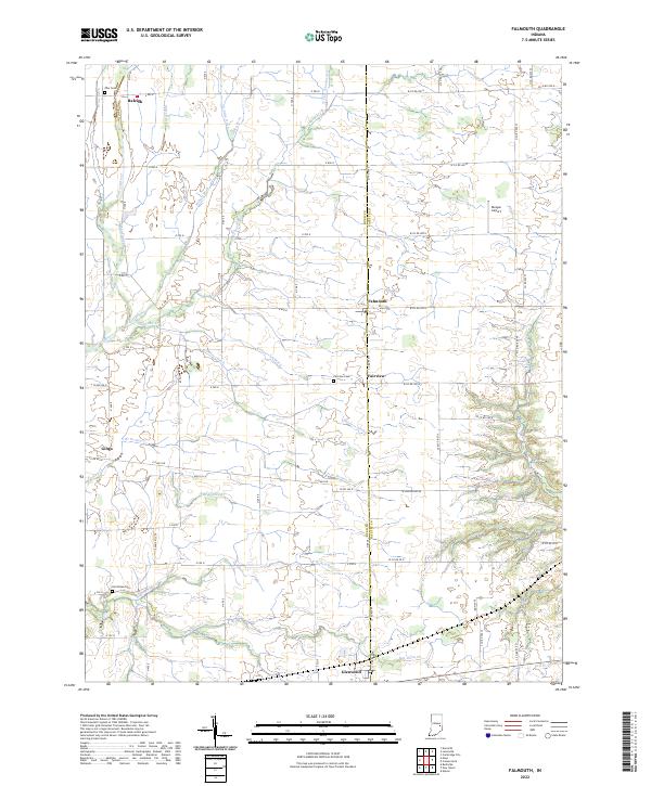
2022 Map of Falmouth
USGS Topo · Published 2022About this map
The agricultural landscape of Rush and Fayette Counties is defined by an intricate network of drainage ditches and creeks feeding into the Flatrock River. Small rural settlements like Falmouth, Fairview, and Raleigh anchor the crossroads of this section of Indiana, maintaining the spatial layout established during the mid-20th century. The terrain is marked by family and community history found at Zion Cemetery, Fairview Cemetery, and Hinchman Cemetery. Water management is central to the area's geography, evidenced by numerous named channels such as Miles Ditch, Lawless Ditch, and Wikoff Ditch that crisscross the farmland to support the region's productivity. In the north, Dungan Airport stands as a small-scale aviation landmark amidst the fields, while the southern boundary is defined by the community of Glenwood and the meandering path of Ben Davis Creek.
Find a feature on this map
71 named features on this map. Tap any name to fly to it.
Don’t see what you’re looking for? This feature index may not catch every label — zoom into the map to look around manually.
Map Details
Editions of this 2022 Falmouth Map
This is the sole edition of this map. No revisions or reprints were ever made.
Other maps of this area

1948 · Lewisville
USGS Topo · 1:24,000

1950 · Dunreith
USGS Topo · 1:24,000

1950 · Lewisville
USGS Topo · 1:24,000

1953 · Cincinnati
USGS Topo · 1:250,000

1956 · Alpine
USGS Topo · 1:24,000

1956 · Connersville
USGS Topo · 1:24,000

1957 · Cincinnati
USGS Topo · 1:250,000

1959 · Rushville
USGS Topo · 1:24,000

1959 · New Salem
USGS Topo · 1:24,000

1959 · Mays
USGS Topo · 1:24,000